

Watching the seasons unfold in the Broads is truly magical but finding activities to please both you and the kids can be tricky. These shorter walks, suitable for families, have something for everyone to help keep the whole family happy during the holidays.
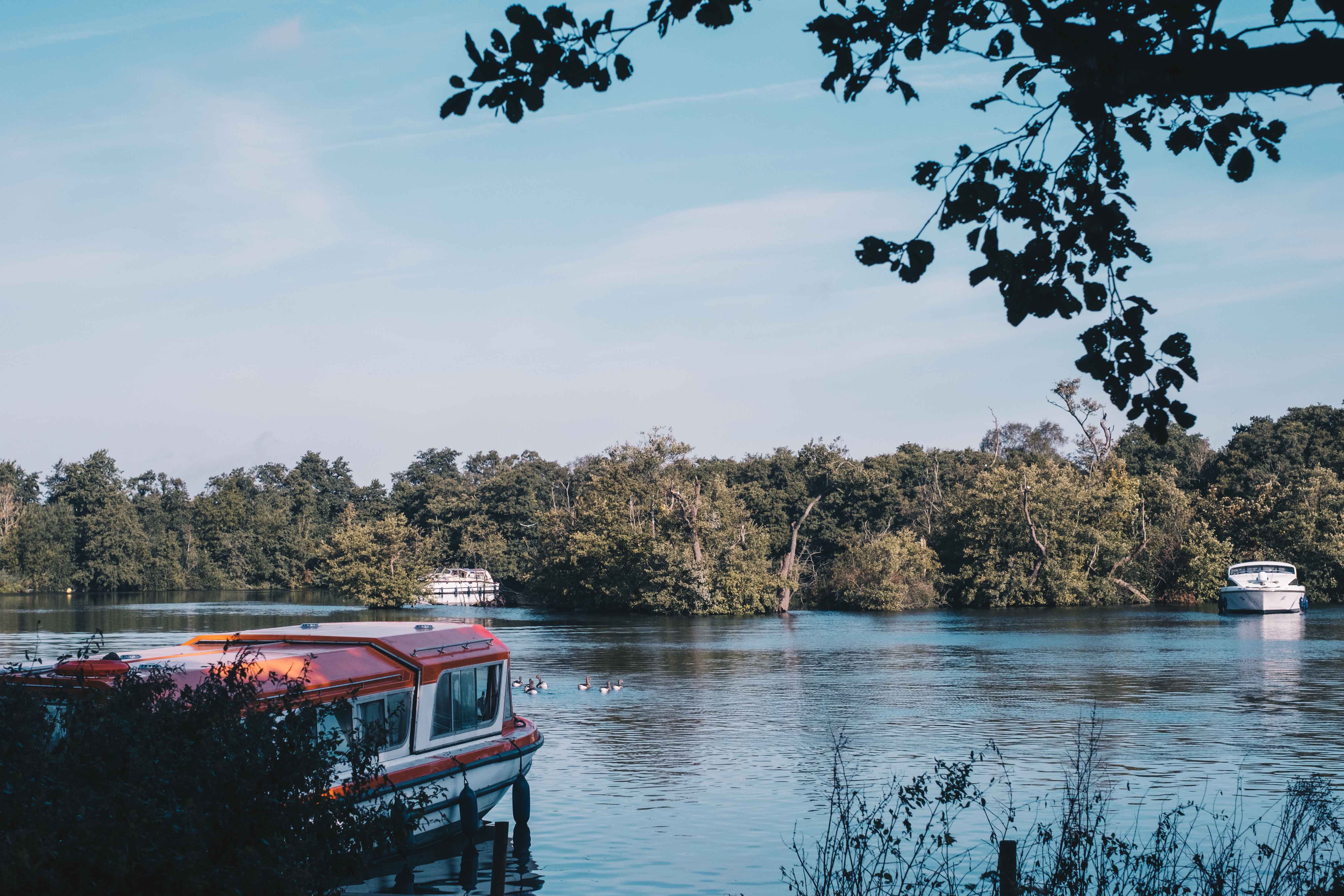
It’s just the right the length to walk to the small play area by the Broad and back with little ones. There are lots of little water-filled dykes and ditches for kids to poke around in and big trees to play hide and seek. Plenty of ducks, a planked walkway into the woods.
Sometimes, there is a coffee and cake van.
Salhouse Broads has a small car park, toilets, a picnic grassed areas and boat moorings. More info
A nice short, circular walk (just the right the length for little ones) suitable for pushchairs. From the car park near the staithe, the route takes you along the boardwalk, up to the church. You can usually climb the church tower (if little legs can manage it) and have a cuppa in their lovely café in the churchyard, however this is currently closed due to CV-19 restrictions. The boardwalk passes through woodland and reedbed habitats and a number of interesting plants. Cetti’s warblers can often be heard but these brown birds are much harder to see.
Refreshments available at the Maltsters pub and the Granary Stores, and there are toilets at Ranworth Staithe. At Ranworth village look out for signs to NWT Ranworth Broad car park. Postcode: NR13 6HS. More info
(1½ miles (1.5-2.5km) 1½ hours)
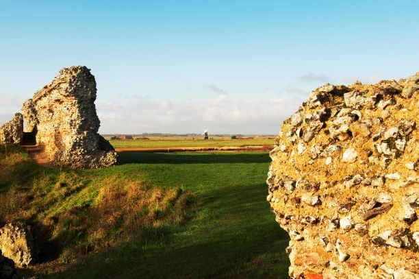
Exploring the ruins of this ancient roman fort is a must for kids. The path leads up right up to the fort, it's very flat (with boardwalk section suitable for pushchairs) and there's good parking. There are scenic views over the reedbeds from a boardwalk and glimpses of Berney Arms Mill, one of the tallest mills in the National Park. Burgh Castle is one of the best preserved Roman sites in the country. Built in the late 3rd Century AD, the thick walls of the fort are still an impressive sight.
A circular map route, can be downloaded to your phone, via the Viewranger app.
(0.75 miles (1 – 1.5km) 45 mins)
A short walk from Rockland Staithe or the car park, around the edge of Rockland Broad to the RSPB Rockland Marshes bird hide and is a great place for a little stop to see what birds are about.
From Rockland Staithe, follow the track alongside the dyke heading away from the road. After a short distance the track bends round to the right. Continue a little further along and at the end of the track the public footpath is on the left and follows a concrete flood barrier along the edge of the marshes. Follow this for about half a kilometre or so to the bird hide.
Refreshments are available at the New Inn pub close to Rockland Staithe car park.
Explore the Broads Wildlife trail at How Hill National Nature Reserve to discover creatures and plants at home in the Broads.
Cost: £2.50 adult, £1.50 child, includes guide booklet.
Buy tickets from Toad Hole cottage, which is a tiny marshman's cottage situated on the River Ant and was home for a whole family in Victorian times. See how they lived and the tools they used for working on the marshes. The trail closes in winter.
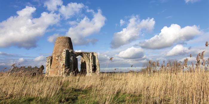
A walk from Ludham Bridge to the ruins of the Benedictine abbey on the banks of the River Bure, near Ludham Village. The 14th-century gatehouse, with the 18th-century mill built over it, is an icon of the Broads. The area also offers ample opportunities to spot broads wildlife including kingfishers, geese and more. The route can be tailored depending on how long you want to walk for. All are shorter versions of the circular route found here (PDF) or here.
Option 1) Ludham Bridge to St Benet’s Abbey (40 mins)
Park at Ludham Bridge (toilets nearby) and walk along the River Ant to the Abbey and back again.
Option 2) Ludham Bridge to St Benet’s Abbey circular route (1½ hours)
Head from Ludham Bridge, along the River Ant to St Benet’s Abbey. Head to Hall Common, along ‘The walk’ to Ludham Village, then head back along Hall road, finishing for a cuppa at the Dog at Ludham Bridge.

(1.5 miles (2.4 km) approx.)
Accessed from the car park at Neatishead (toilet and baby changing facilities available) or directly from Gayes Staithe 24-hour mooring. Follow signs along the path to the start of the boardwalk. The 1.5 miles of wheelchair and buggy accessible boardwalk has views over Barton Broad. More info
(1 1/2 – 2 miles (2.5 – 3 km) 1 hour)
A well-signed route with easy parking. Start at the church or at the moorings. The route takes you along the river and through marshes and can be extended or shortened depending on how energetic you / the kids feel. More info
A lovely walk between South Walsham and Upton. Open at all times with a small car park.
Situated within the Bure valley, just upstream of Acle, this is an area of quiet beauty and wildness, with fen meadows and a host of wetland plants. It is protected and managed
by Norfolk Wildlife Trust, and supports some of the Broads’ rarest wildlife, including swallowtail butterflies. There is a network of paths, which may be muddy, so not great for buggies. Dogs are not allowed here.
Getting there
Upton Broad and Marshes is 3.5km (2.2 miles) north of Acle. From Upton Village, follow Cargate Lane east towards South Walsham. After one mile there is a sharp bend to the right, follow the road around and continue for 0.1 miles. As the road then bends around to the left take a right turn (almost straight on), on to Low Road. The NWT car park is on the right- hand side of the road. An alternative car park is located at Upton Boat Dyke where access is via a public footpath alongside the river, enabling views of the grazing marshes. More info or see the Alltrails map.

A shorter 30 min circular route, starts along the river at Beccles Quay (toilets, refreshments and play park here).
The marshes are grazed by cattle and are criss-crossed by small dykes. There is also the site of an Iron Age causeway on the route and you can still see raised tracks meeting the river wall.
For the energetic / adventurous, take the longer route of 4 miles (6.4km) which takes 2 and 1/2 hours. More info or download a map here (PDF).
A 40 min route along the River Waveney through marshes and heathland to. Car park next the golf club and there's a nice riverside path with the option of continuing your walking on the surrounding Outney Common. The 40 min walk is a shorter version of the GPS walking route featured here.
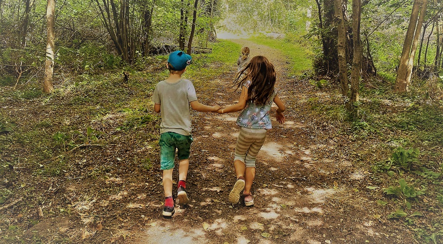
A wheelchair and pushchair friendly 1-mile surfaced section of the Wherryman’s Way, atop the flood bank of the River Chet. Download a PDF guide by Norfolk Trails.
We love this blog on pushchair and kid-friendly walks around Norfolk. It’s packed with useful tips for parents of babies and small children who want to head outdoors, including facilities like parking, refreshments, play areas and accessibility.
See the blog post on walks in the Broads and on Ranworth.